
Search a Milford Street by Address
A Milford street search can establish several different facts, but they are not interchangeable. Patriot Properties can identify a current assessed owner and parcel. MapGeo helps locate the parcel along the street. The Worcester Registry can document title and legal-description history. A municipal voter file and historical house guide can offer dated address evidence subject to their respective rules. The record chain is strongest when it preserves the source and date beside each match.
Start with the exact street number if it is known. If not, Milford’s assessor guidance recommends a short street fragment. Do not merge properties merely because their numbers look alike. Separate lots, units, condominiums, and non-addressed parcels can sit on the same road.
- Search the address in Milford Patriot, or search a short street fragment, and record the parcel ID, situs address, current owner, and mailing address.
- Open the same location in Milford MapGeo. Click the parcel polygon, inspect its context, and identify adjacent parcels without assuming they share a boundary.
- Use the owner name, parcel details, or last-sale reference in Worcester MassLandRecords. Read the latest deed and its prior reference.
- If a defined voter record is relevant, request the local file from the Milford Town Clerk rather than attempting to browse the statewide self-status form.
- For an older address, compare a house-guide or city directory with the deed chain, maps, and local newspapers.
Note: A current owner, a tax mailing address, and a historical occupant may be three different facts about one Milford address.
Milford Street Directory Property Fields
The local address search begins with the Town’s Property Database & Field Cards. The Town says searches can use an owner name or property address, with only the first few letters of a street or owner name needed to find a parcel. The selected property record can connect a street address to its parcel or map-lot identifier, current assessed owner, owner mailing address, fiscal-year values, and physical-property fields. The field card is a working lead, not the final authority for title.
| Search field or result | Milford street use | Reading it carefully |
|---|---|---|
| Address / street | Find a parcel using a number or short street fragment. | Similar addresses can represent separate parcels or units. |
| Owner name | Find parcels tied to an owner spelling or variant. | Ownership can be recorded through a trust, business, or estate. |
| Parcel ID / map-lot | Carry the stable identifier into deed, plan, and request work. | The accessible text did not confirm every local format. |
| Situs and owner address | Compare the physical parcel with tax correspondence. | A mailing address is not evidence of current occupancy. |
| Last sale reference | Use book/page or a sale clue to locate the deed. | Confirm the recorded instrument at Worcester. |
The Milford assessor property-search screen shows the address and owner starting point. Save the exact spelling and parcel reference before branching into a deed or map lookup.
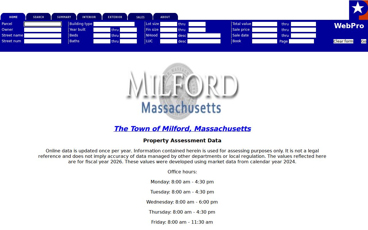
Milford assessor information can show who receives tax correspondence, while a matching situs address is only one piece of owner-occupancy evidence.
- Parcel
- A mapped piece of land with an assessment identifier.
- Situs address
- The physical location of the parcel, which can differ from the owner’s mailing address.
- Plat or plan
- A recorded map that can show how lots and streets were laid out.
- Criss-cross directory
- An address-first directory used to find a listed occupant for a particular publication year.
Milford MapGeo Street Checks
MapGeo supplies the street-by-street view that a property card lacks. Search an address or place, choose a suggestion, then click the parcel itself to inspect the record. Pan along the street rather than assuming a single result represents the block. The MassGIS statewide viewer is the fallback when a local map task is unavailable. It supplies an assessment popup, an attribute table, filtering by current map extent, measure tools, and a desktop Find Abutters function.
The official Milford MapGeo parcel viewer is the local route for parcel context. Statewide guidance also cautions that a parcel polygon is a representation, not a legal survey. Deeds, recorded plans, and legal descriptions control a boundary question.
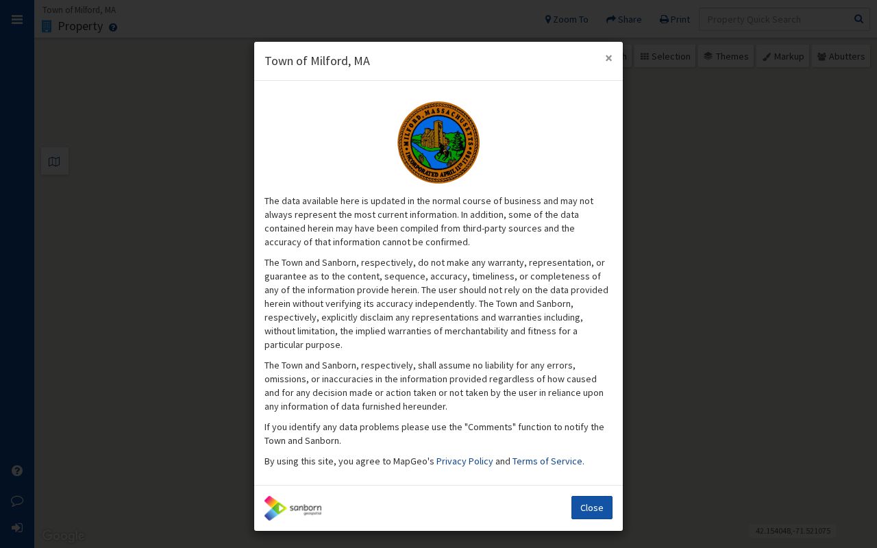
For a street-by-street task, use the map to collect parcel identifiers and orient the record trail. It does not create a list of all people on a road. A parcel directly across the street may be a geographic neighbor but not a legal abutter.
Milford Street Directory Deed Links
Worcester MassLandRecords is where an address trail becomes a recorded title trail. The Registry provides separate Recorded Land, Registered Land, plans, and pre-1960 grantor and grantee search modes. Search a current owner or property with Milford selected, then narrow a broad result with town, date, document type, or party role. The default search covers available online data and returns only the first 1,000 matching rows, so a wide surname without filters can hide the useful result.
Read the latest deed for grantor and grantee, recording date, book/page or document number, legal description, and the prior-record citation. Then search the seller as a grantee before treating that seller as a grantor. The purchase deed often supplies the next backward link. This Milford title-search tip follows the way recorded instruments cite an earlier acquisition.
The Worcester deed-search instructions show the Advanced search controls, including party type, document, town, and date filters. Search, viewing, and the Registry’s current printing/download service are free. A certified copy is $1 per page, and the Registry counter remains the fallback for a missing index path or old plan.
The image reflects why a town filter and date range are more useful than a broad name search when tracing a single Milford parcel.
Milford Street Permit and File Requests
Building, planning, zoning, subdivision, and code files can add a date or project connection to a Milford street address. Planning & Engineering at Town Hall reviews development and subdivision proposals and links the CitySquared permitting service. A public permit record may identify an applicant, owner, contractor, work type, date, or associated parcel, but those roles do not establish that a person resides at the address.
The online CitySquared form could not be fully inspected in the research, so its exact Milford search fields and historical coverage should not be assumed. When the online path fails, direct a request to the relevant Town office with the street address, parcel ID, date range, and document type. Massachusetts Public Records Law, M.G.L. c.66 §10, generally calls for an initial response within 10 business days. A custodian may provide a record, seek clarification, estimate cost or time, or cite a specific basis for withholding or redaction.
This narrowed request channel is better than asking the Town to create a new roster for a whole street. It also gives staff the details needed to locate an existing permit, plan, zoning file, or board record.
Note: A permit is address evidence for a project, not proof that an applicant belongs to the current household.
Address Records Along Milford Streets
A Milford street directory uses several address-keyed sources, each with a distinct strength. The assessor connects an address to a current assessed parcel. MapGeo adds parcel placement and layers. The Registry adds title and legal-description material. The Town Clerk can handle a defined municipal voter request. House guides give dated address-first entries, and planning files can supply project context. None should be stretched beyond the fact it records.
| Milford address record | Custodian | Street fact | Access channel |
|---|---|---|---|
| Assessor field card | Milford Assessors | Owner, situs and mailing address, parcel, values | Patriot, counter, or phone |
| Parcel map | Milford MapGeo / MassGIS | Parcel shape, assessment popup, map layers | Free viewer |
| Deed, mortgage, lien, or plan | Worcester Registry | Parties, title references, legal description | MassLandRecords or counter |
| Municipal voter file | Milford Town Clerk | Permitted public voter fields by defined request | Town Clerk request |
| Permit or subdivision file | Milford Planning / Building | Project, parcel, applicant, and date where public | Portal or record request |
| House guide | State Library and local collections | Address-first historical occupants | Collection or reference desk |
Carry the parcel ID from one source to the next. A street name ties records together, while a parcel number and a recorded legal description reduce the risk of confusing an adjacent lot with the intended address.
Milford Street Voter Record Requests
An address-focused search may need a local voter record, but the Massachusetts online voter-status page is not a public street search. It requires the individual’s first name, last name, date of birth, residential ZIP, and an acknowledgement, then returns limited status information for that submitted person. Do not use it to map a block or create a street-wide list.
For a permitted municipal request, contact the Milford Town Clerk and define the street, precinct, election or date range, requested format, and needed public fields. The Secretary’s voter-information guidance says local public lists can include name, address, party, date of birth, active or inactive status, and voter ID, while confidential voters and other protected material are withheld. Historical voting lists are available in selected State Library years, but those volumes document their own dates rather than current registration.
Milford address-record work should leave confidential records out of the search trail. An absent name can reflect a protected status, a different record date, or no public match. It should never trigger an attempt to reconstruct a protected address.
Milford Street Names in Older Files
Older Milford records can use a street name that does not match the current map. Main Street was earlier Sherborn Road. Purchase Street grew from the route to the 1691 North Purchase. Highland Street was formerly Magomiscock, and West Street developed from the road to Upton. These variants belong in directory, newspaper, deed, and map searches when a familiar current street name produces no historical result.
Town boundaries also change the reading of an old record. Hopedale separated from Milford in 1886, so a historic directory or deed description marked Milford may cover a place now identified differently. There was no located official record of a town-wide house-number renumbering project, so do not invent one when addresses fail to line up. Use the recorded legal description, plan, parcel or map-lot, cemetery and church references, and street-name variants to bridge the gap.
The 1892 Milford Sanborn set contains 11 sheets, and the recorded map series runs from 1885 through 1958 in the State Library and Library of Congress inventory. Those maps show a building footprint and street context, not a full named household.
Milford Street Directory House Guides
For a past address, the Milford street directory becomes a house-guide task. State Library holdings identify selected Milford house-guide volumes from 1942 through 1967. The Library of Congress inventory also identifies the Milford, MA & vicinity Blue Book series from 1984 through 1996. An address-first listing can point to a named occupant, while the alphabetical pages help check a surname against the same publication year.
Read the entry as a dated lead. “House” and “boards” do not mean the same thing, and an occupation, spouse notation, or employer abbreviation needs the directory’s own context. Pair the address with the title trail, a newspaper notice, probate material, or a census record before making a family-history conclusion. The historical volumes themselves are covered in the Milford city directories collection route.
The Milford Town Library’s Curran Collection adds resident lists, newspapers, maps, town reports, cemetery records, and yearbooks. That local material is a useful fallback when a particular house-guide year is missing from an online catalog.
Milford Street Directory Privacy Limits
A Milford street directory cannot supply a reliable list of every person at an address. Not every household member appears in a property, voter, deed, permit, or directory record. Utility and delivery records are not public resident lists. RMV address information is protected by the Driver’s Privacy Protection Act. Confidential voters, Address Confidentiality Program participants, juvenile records, and impounded court files also create deliberate gaps.
Use an address record for the lawful purpose its custodian makes available. Verify a deed with the Registry, a parcel fact with the assessor, and a local-record request with the Town Clerk. A familiar name or street number is not enough to prove identity, current presence, or a relationship to another person.