
Milford Neighbors by Public Source
A block search combines map context with records held by separate custodians. The statewide parcel map can highlight adjacent land. Milford’s local map and assessor tools supply current parcel context. Worcester Registry deeds give title and plan references. A defined municipal voter-file request may supply public voter information subject to exclusions, while a house guide or local collection can place former neighbors at an address in a selected year.
| Source | What it shows about a block | Access |
|---|---|---|
| MassGIS Find Abutters | Adjacent parcel polygons and owner or assessment popups | Free statewide map |
| Milford MapGeo | Local parcels and town map layers | Free dynamic viewer |
| Milford assessor | Assessed owner, mailing address, parcel facts | Patriot or counter |
| Registry deeds | Current or prior owners, plans, legal adjacency | Free online search; copy rules apply |
| Town voter file | Allowed public registered-voter fields by address or precinct | Written Town Clerk request |
Assessment and deed material establish an ownership connection, not a roster of occupants. A mailing address may belong to a trust, tax contact, or owner who lives elsewhere. Historical address directories can add a named occupant, but their date and notation must be read carefully. Those limits keep a Milford neighbors result tied to what the source actually records.
Milford Neighbors Through Abutters
The Massachusetts Interactive Property Map gives a clear adjacent-parcel method. Select the target parcel, open Find Abutters, choose Apply, and expand the yellow highlighted adjacent parcels. Repeat the check for corner lots. The attribute table can filter the current map extent, select records, zoom or pan, and open parcel popups. It is a spatial starting point, not a substitute for a deed or legal survey.
The official MassGIS parcel map presents its property tools and parcel-information interface.
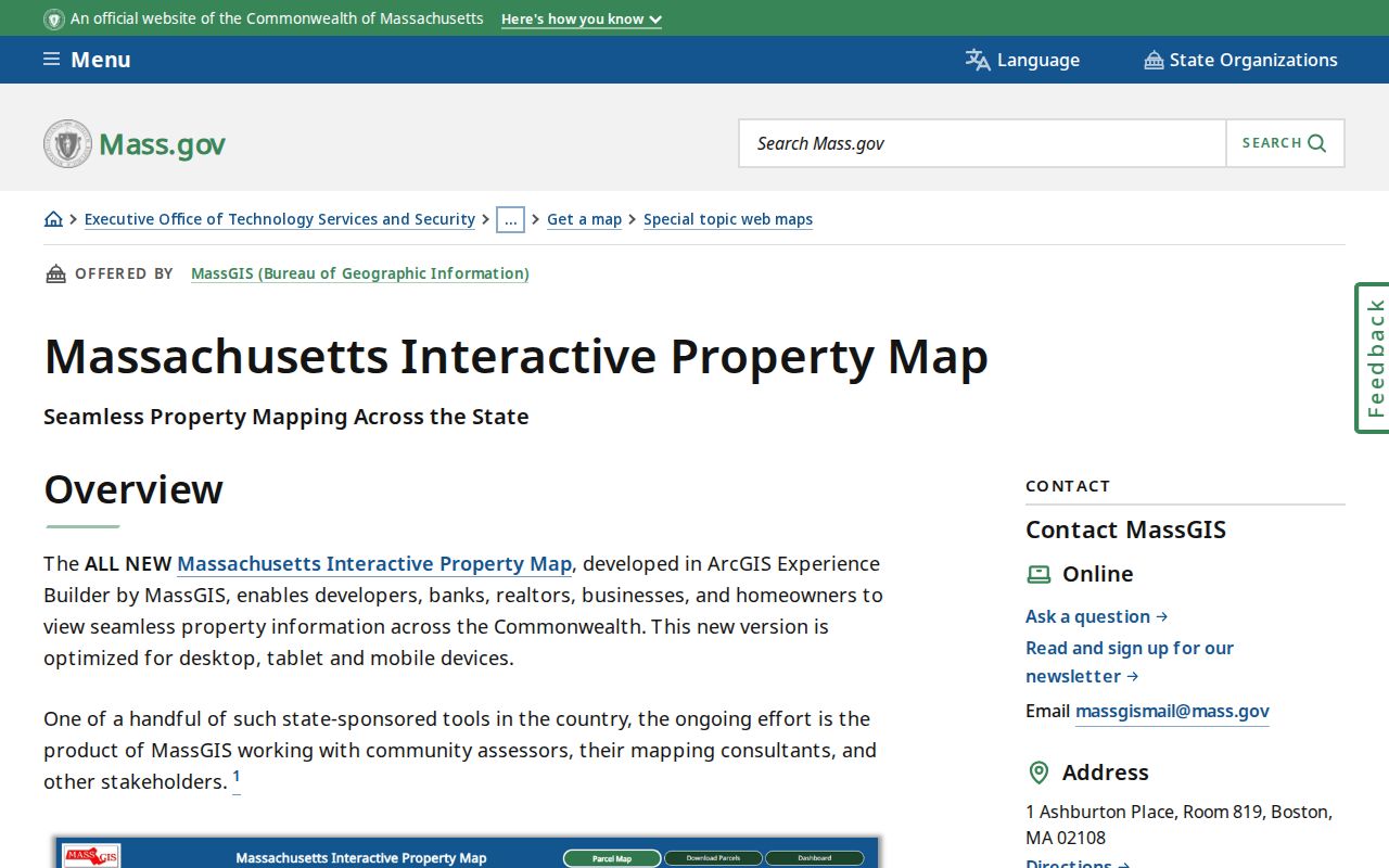
After the map identifies a possible abutter, confirm the owner and date in the Milford assessment record and, when needed, in the Worcester Registry deed image.
Across the street is a geographic neighbor, but it may not be an abutter in the legal sense. A road right-of-way can lie between the parcels. MassGIS also warns that its parcel boundaries are representations rather than an authoritative survey. A recorded deed or plan controls a boundary question.
Map a Milford Neighbor Block
Use one address at a time and preserve the parcel identifier for each result. The method prevents a street number from being confused with a condominium unit, vacant lot, or a second legal parcel. It also makes it easier to compare today’s map with a historical plan or address directory.
- Find the target address in Milford MapGeo or the statewide parcel map, then open its parcel popup.
- Run Find Abutters, click each highlighted parcel, and mark those across a road as geographic rather than legal neighbors.
- Check the assessed owner, situs address, owner mailing address, and last-sale reference in Patriot Properties.
- Search the current and prior owner in MassLandRecords and use the legal description or plan reference to verify the parcel.
For the much broader chain along an entire named road, use the Milford by-street directory. The block method is deliberately narrower: it follows the parcels nearest one address rather than trying to list a whole street.
Milford Neighbor Map Layers
Several map layers change how a block is read. Parcel boundaries and assessment popups identify land and current assessment facts. Zoning, FEMA flood material, districts or precincts, aerial imagery, and street labels add context. Milford Planning & Engineering links zoning and FEMA resources, while MapGeo is the local layer source. Use the layer to understand a location, not to infer a household detail that the source does not contain.
Milford MapGeo is the town-linked parcel viewer for local street and layer context.
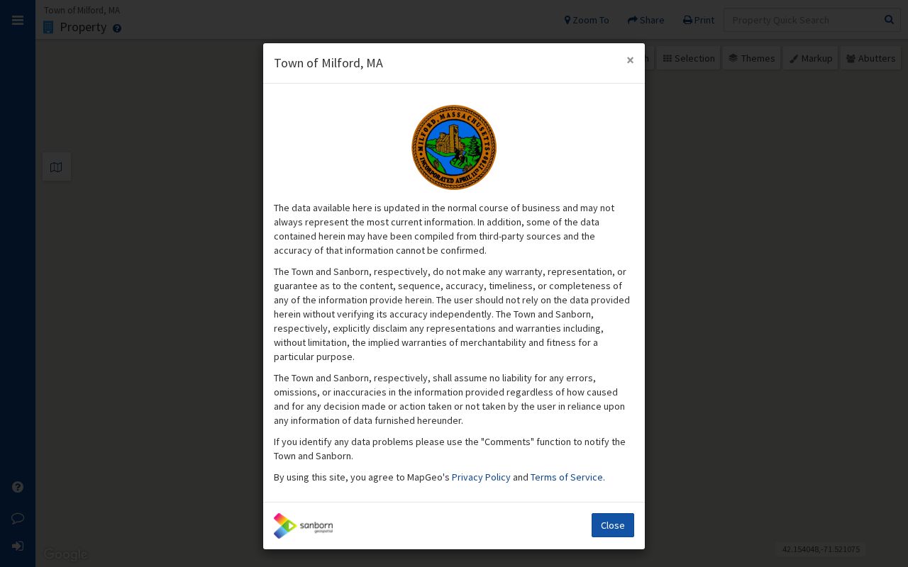
The local viewer helps place a target parcel on a Milford block before a record is checked against the assessor or Registry.
Milford’s changing geography also matters. Hopedale separated from Milford in 1886, and the town saw boundary changes in 1835, 1907, and 1962. Main Street was historically Sherborn Road; Highland Street was Magomiscock; Purchase Street came from the North Purchase route. An old map or directory may require these variants and the parcel’s legal description to locate the right block.
Milford Neighbors and Voter Files
The Massachusetts self-status page is not a way to browse a block. It requires a person’s first and last name, date of birth, residential ZIP, and acknowledgement, and is intended for the individual voter. A local municipal voter file is the correct channel for a defined public-record request. Milford Town Clerk, Town Hall Room 12, 52 Main Street, holds voter registrations and local lists.
State guidance says local public lists can include name, address, party, date of birth, active or inactive status, and voter ID, while additional items may be available on request. Phone, email, veteran status, permanent absentee status, minor records, and confidential-voter information can be withheld. Ask for a date, precinct, street, or field list that fits the purpose, and ask that protected information be redacted. A voter status is not proof that a person currently occupies a parcel.
Historical voting lists, town annual street lists, election results, and precinct maps offer different dates of evidence. The State Library has selected Milford voting-list years, while the Town Clerk’s annual street listing can document that a person or child lived in Milford in a given year. Neither source creates a complete present-day neighbor list.
Milford Neighbor Community Leads
Milford has useful community records, though the research did not find a maintained public membership directory for a neighborhood association or homeowners association. The official site has a Milford Neighborhood Task Force link, but a current membership or contact directory was not located. That absence is important. A civic group should not be treated as a current household directory.
| Organization or layer | Record path and limit |
|---|---|
| Milford Historical Commission | Memorial Hall has historical people, streets, organizations, church, and cemetery materials; Thursday hours are 1:00-4:00. |
| Milford Historical Society | Research service, Oak Grove Cemetery, historical-home and Milford Times materials; no current member directory located. |
| Churches and parishes | Historical Commission index has church categories; a current open congregation roster was not located. |
| Fraternal, civic, and veteran groups | Memorial Hall index categories can point to historical rosters and programs on request. |
| HOA or subdivision layer | No consolidated official list found; Planning and subdivision documents may identify an association. |
For former Milford neighbors, the Paul E. Curran Historical Collection is a strong local route. It holds maps, resident lists, cemetery records, yearbooks, town reports, and newspaper microfilm. Event programs, public meeting minutes, historical articles, and newspapers can identify officers or participants without claiming they describe every current resident.
Memorial Hall is a useful hybrid access point. The Historical Commission maintains a computer index of digitized PDFs and hard-copy material, but the 2025 reports say online publication was still being coordinated. Capture a category number and title before contacting staff. That makes a request for a street, organization, home, or cemetery item precise. It also acknowledges that a record may be locally searchable without being available as a full public web directory.
Milford Neighbors: Official or Commercial
Official records name the office, date, and underlying purpose of a result. A property map can show a parcel. An assessor card can show the current assessed owner. A Registry deed can establish a title transfer. Commercial neighbor tools generally combine public extracts, marketing data, address histories, and user-supplied material. They can lag the custodian, merge similar names, or omit protected people.
| Official route | Commercial category |
|---|---|
| Shows a dated record from a named custodian, with source-specific limits. | May combine sources with unclear update dates or matching methods. |
| Supports checking the parcel, deed, or local request directly. | Can provide a lead, but needs confirmation at the official custodian. |
| Excludes or protects confidential record classes when law requires it. | May be stale, incomplete, or wrong about protected and same-name people. |
Use a result as a lead only until the relevant office confirms it. A deed, assessor page, voter file, court record, or historic directory each describes a narrow fact. Combining them without dates can create a misleading picture of Milford neighbors.
Milford Neighbors Privacy Limits
What stays private about a block includes renters and household members not named in public records, confidential voters, Address Confidentiality Program participants, utility and delivery customers, DMV data, phone and email, and sealed or impounded records. Public voter lists exclude confidential voters and protected fields. A property owner’s mailing address may be a tax contact rather than a home address. Do not fill a gap in an official record by guessing or seeking a protected address.
Lawful use. Milford neighbors research is for personal, lawful community or historical purposes. Never use a parcel or record result to stalk, harass, intimidate, or harm anyone.
Massachusetts law recognizes stalking and criminal harassment in the circumstances set out in M.G.L. c.265 §§43 and 43A. If a record contains an error, return it to the appropriate custodian: the Assessor for a mailing-address issue, the Town Clerk for voter status, or the court or Registry for their records. A precise, limited request is safer and more useful than a broad search for people around an address.
Keep the source name, access date, and parcel or case reference with every result so it can be verified later.